Encounter The Carretera Austral
Authentic Central American Experiences For Your Clients Request A Quote
What makes it so captivating is the fact that the Carretera Austral remains the only road connecting Puerto Montt and the deep, remote regions of Northern Patagonia.
This region is among the least inhabited in Chile, the winters are long and cold and can isolate the villages for days on end, but the summers are beautiful.
A big part of the Carretera Austral has been paved now, and the government is working hard on giving access to this region.
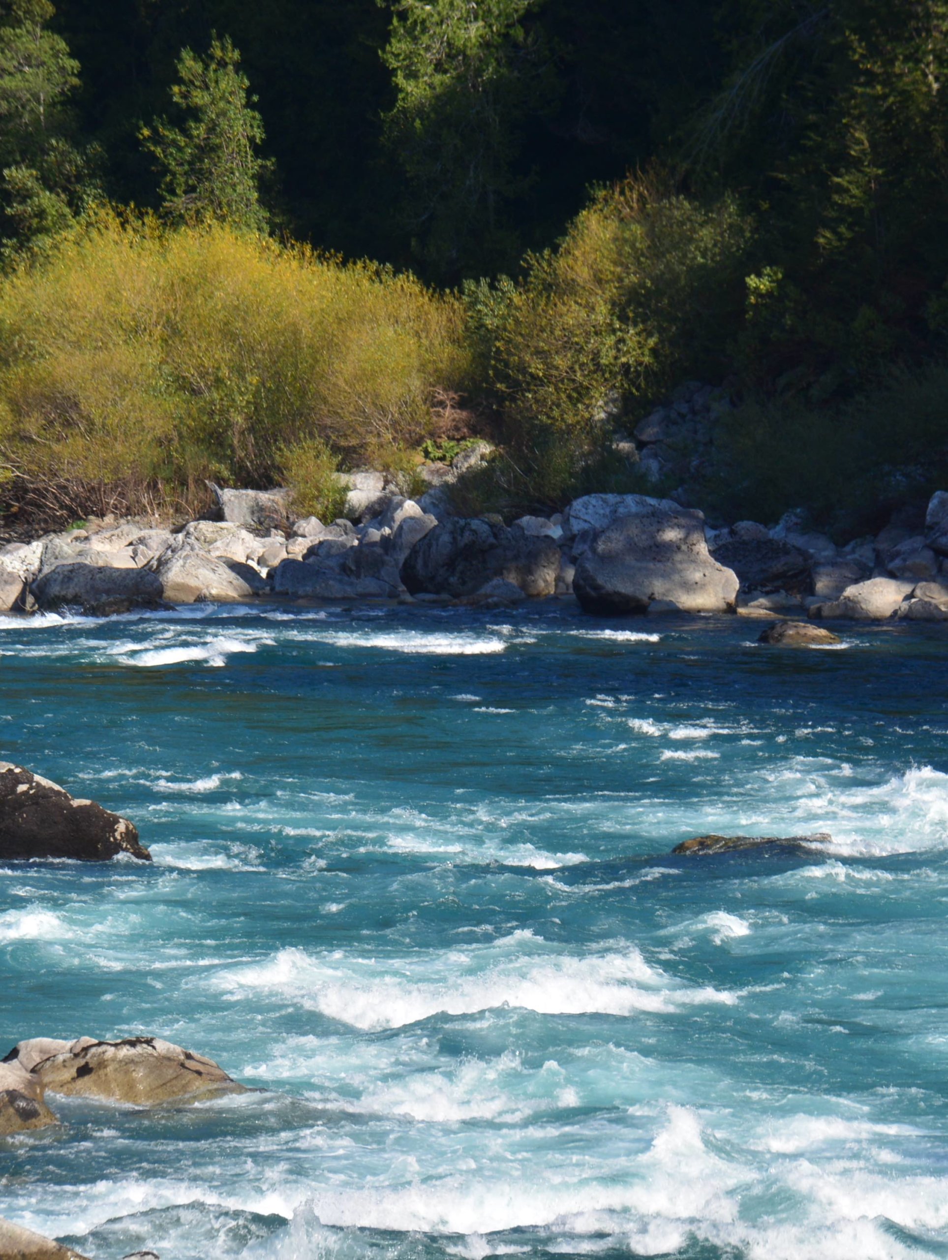
Patagonia’s most iconic highway
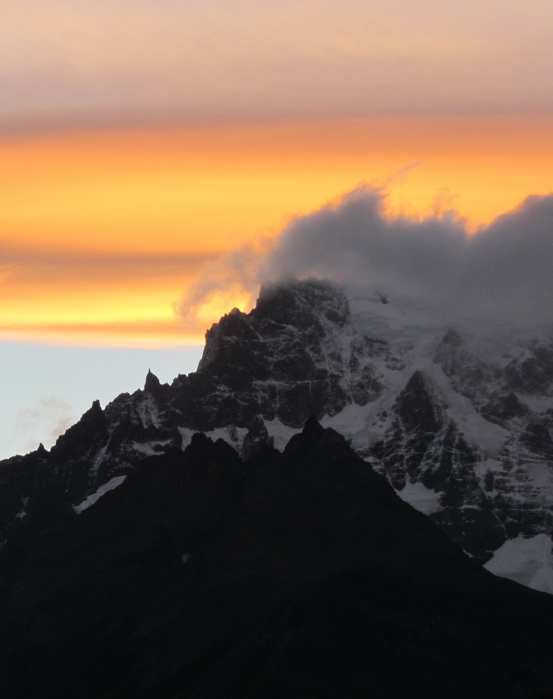
The Carretera Austral is also part of “Ruta de los Parques”, an initiative stretching 2,735 kilometres from Puerto Montt to the very tip of Patagonia at Cape Horn that joins 17 Chilean national parks.
The “Ruta de los Parques” is a conservation and sustainable tourism project of the Tompkins Conservation Foundation together with the Government of Chile.
The route includes 17 national parks, many along the Carretera Austral, whose lands were bought since the 1960s by Douglas Tompkins with the goal of conserving the entire territory, its flora and fauna. These were delivered to the Government in April 2019 to obtain the title of National Park. In return, the Government converted reserve areas into parks, thus increasing the level of protection, and increased the total of its protected territory under the name of national park.
build your clients trip with our experts


WHAT NOT TO MISS IN THE CARRETERA AUSTRAL
Pumalin National Park
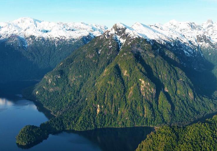
Pumalín Douglas Tompkins National Park (402,392 hectares) is located in the Province of Llanquihue and Palena, Los Lagos Region, Chile. It extends from the heart of the Andes to the fjords of the Pacific Coast. Besides protecting the pristine Valdivian forests, it offers trails, campsites and public facilities, allowing thousands of visitors to enjoy this majestic landscape every year.
Volcan Chaiten
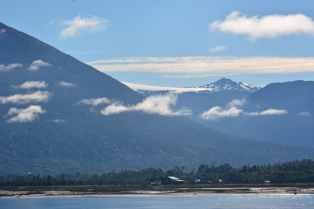
In May of 2008, Volcán Chaitén erupted after 9000 dormant years, causing tremendous damage to Chaitén and Pumalín, and even in to Argentina. The park was closed for two years, during which extensive restoration work was conducted. The new trail starts 34km south of Caleta Gonzalo, by which you can climb up to the crater. The hike up takes approximately 1.5 hours, with a 45 minute descent.
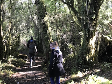
Hiking, hiking and more hiking
All along the Carretera Austral there is a fantastic hiking system in place. The signs are very clear, the trails well maintained and marked very well. the hiking options are endless and are for both experienced and non experienced hikers.
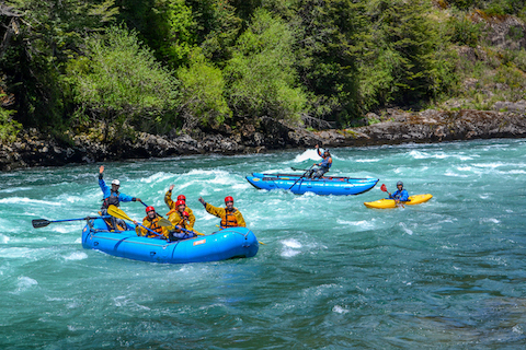
Futalefue
Located in the middle of the Andes, Futaleufú, in Mapuche, means “big river”. A true paradise for extreme sports, this river is considered among the three best rivers for kayaking and rafting in the world. The town is tiny, but has a lot of character and in the summer there are many things to do. The scenery is stunning and its location is close to the border with Argentina.
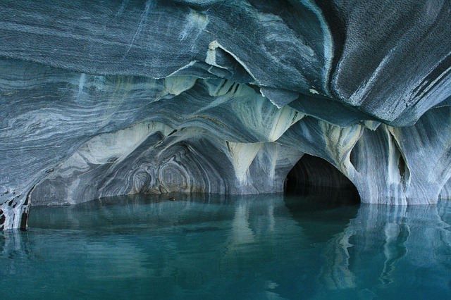
Lakes and Glaciers of Aysen
Listed as a UNESCO World Heritage Site in 2000, Tiwanaku is an ancient archaeological site named after one of the most important civilizations prior to the Inca Empire.
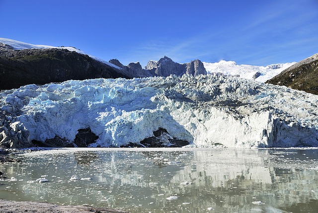
Cerro Castillo National Park
The Cerro Castillo National park is located south of Aysén, 40 miles from the city Coyhaique and covers an area of 143,502 hectares.
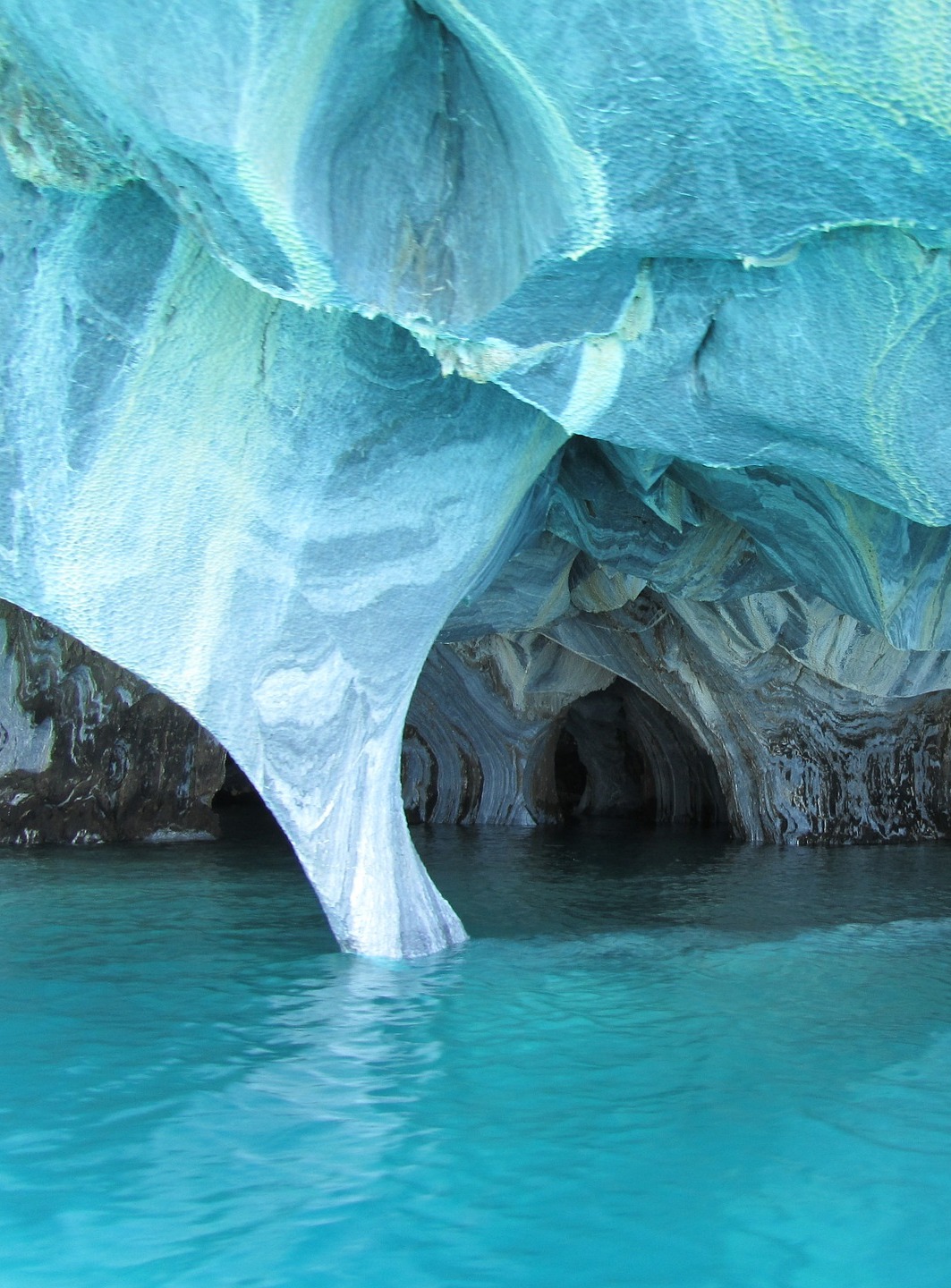
The Hanging Glacier here forms lagoons of turquoise colored water giving life to unbelievable landscapes, surrounded by forests and bushes of lenga, ñirre and calafate trees.
destination map

| Title | Address | Description |
|---|---|---|
Santiago de Chile | Santiago, Región Metropolitana, Chile | A city where old meets new in the architecture, culture, and geography of this Chilean metropolis. In Chile’s central valley of the Santiago Basin, the city is surrounded by many formidable mountain ranges that dominate the horizon. The Andes, which are as far away from Santiago’s side as the Pacific Ocean is from the other, are among them. Read more… |
Chilean Patagonia | Patagonia | Patagonia is a vast region of Argentina & Chile, and the southernmost tip of South America. Chilean Patagonia, which draws tourists for its thrilling outdoor sports and seasonal wildlife spotting. In Chilean Patagonia, the Andes sink drastically into the Pacific, producing unique geographical formations and an extensive array of archipelagos, channels, and fjörds. Read more… |
San Pedro de Atacama | San Pedro de Atacama, Antofagasta, Chile | In northern Chile’s high, arid plains, an otherworldly moon-like landscape meets with the night skies. With vast desert plains, volcanic peaks, gleaming white salt pans, undulating pink and orange rock and sand formations, and turquoise lagoons, Atacama Desert is a remote land that continues to captivate travelers, and home to a variety of wildlife, flora, and fauna. Read more… |
Lake District | Avenida Philippi 1215, Frutillar Bajo, Frutillar, Los Lagos, Chile | At the Andes’ base, this 600-mile long sliver of mountainous terrain boasts numerous lakes between the mountain range and sea running south. This region draws tourists who enjoy a slower, more relaxed pace of exploration, to explore the lakes and their surroundings individually, away from the crowds and tourist traps of southern Patagonia, to give you that desired feeling of pure solitude in nature. Read more… |
Easter Island | Isla de Pascua, Valparaíso, Chile | This Pacific Island, located an astounding 2,200 m away from the South American coast, technically belongs to Chile. Famous for its giant Moai statues, iconic and mysterious stone heads have made the island popular throughout the world as remote, isolated, and enigmatic. The Moai were sculpted more than 400 decades ago by the indigenous Rapa Nui, the indigenous people inhabiting the island. Read more… |
Depending on your client’s preferences, we can help you determine the best experiences tailored for your clients. From where to visit, when to go, what to do and how to get there safely, our travel experts will help you create an experience your clients will love.
Best times to visit the carretera Austral
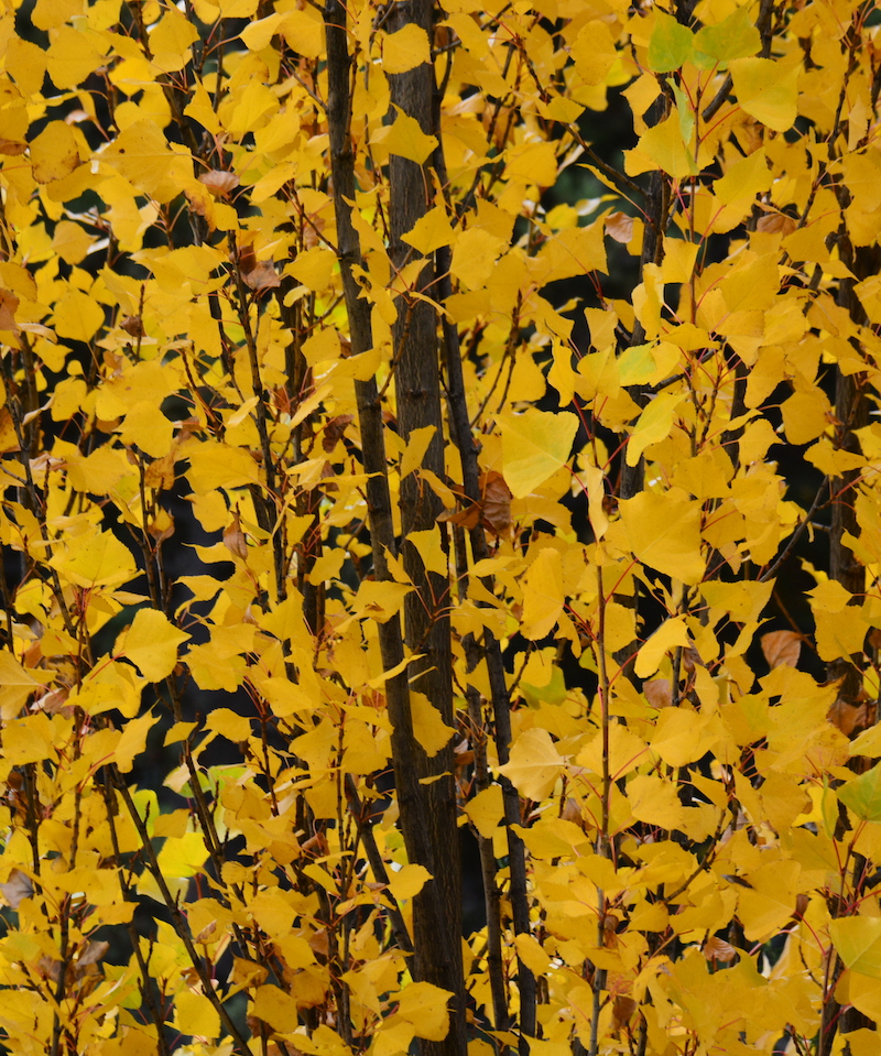
Summer on the Carretera Austral is from December to February. It’s the highest and busiest season. You can expect good weather and fewer people in shoulder season, November/December and March/April. During the winter months, it can get really cold with freezing temperatures and snowfall.
During the winter season, between Mid April and End of October, most of the accommodation, lodges and camp sites close.
practical information
HOW TO GET THERE
The carretera Austral starts in Puerto Montt and it is best to rent a car here, if you are just starting. The only way to explore the carretera is with your own vehicle, motorcicle or bike.
GETTING AROUND
The only way to explore the carretera is with your own vehicle, motorcicle or bike. A large part of the carretera is now asphalted, but after Yelcho the road becomes unpaved. While the government keeps the road in a good condition, the best way to explore is with a 4-wheel drive vehicle.
WHERE TO STAY
The best way to explore and travel the route is by camping and bringing your tent, this will allow full freedo of how many nights you wish to stay and explore the regions at your own pace.
Alternatively you can also book lodges, most fo the lodges are fishing lodges and tend to offer an al-inclusive option and you will have tomake sure to book in advance.
More highlights of CHILE
With eight local offices in Latin America, we have the perfect base to help you build the perfect trip for your clients. Unrivaled experience with a wide selection of bed & breakfasts, small posadas, unique boutique hotels and world class luxurious lodging.
